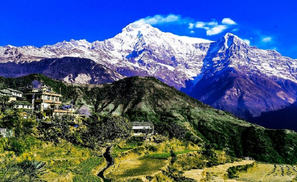
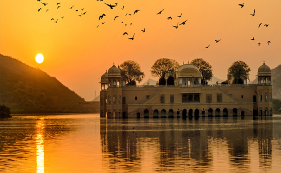
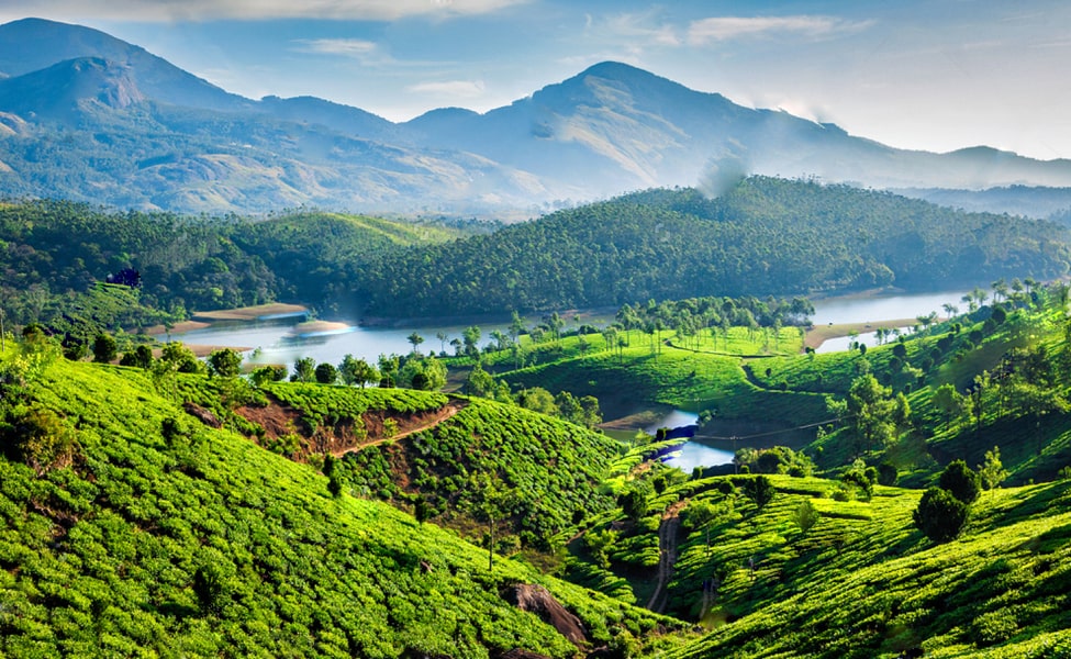
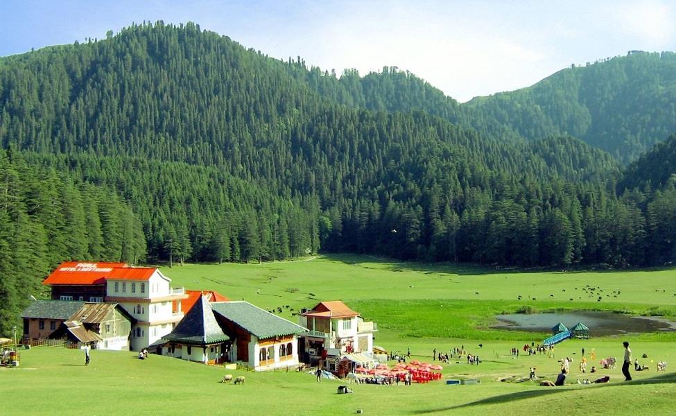
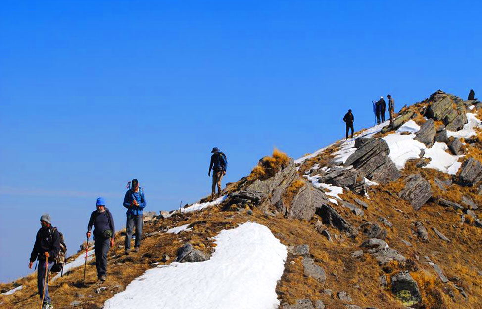
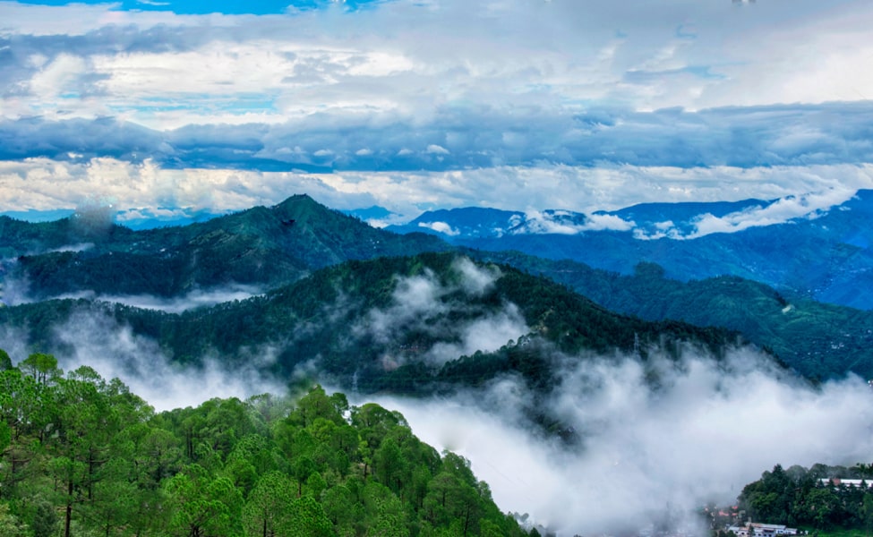
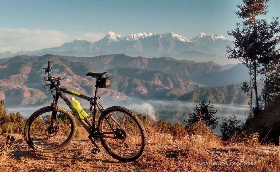
Uttarakhand is a famous hill station in India with a wealth of trekking trails and is very popular among adventure lovers. While going on the trekking trail of Uttarakhand, you can witness the beauty of lush green surroundings, snow-capped mountains, pilgrimage sites, rivers, waterfalls, etc. Except for some popularly known trekking destinations, some more unplumbed and unexplored areas in the state are way better than the commercialized ones. Let’s visit some of the famous hilly terrains in Uttarakhand and admire the beauty of nature blessed with breathtaking delight.
Check out the list of some popular Summer Trekking Trails where you can quench your thirst for Trek.
Valley Of Flowers Trek
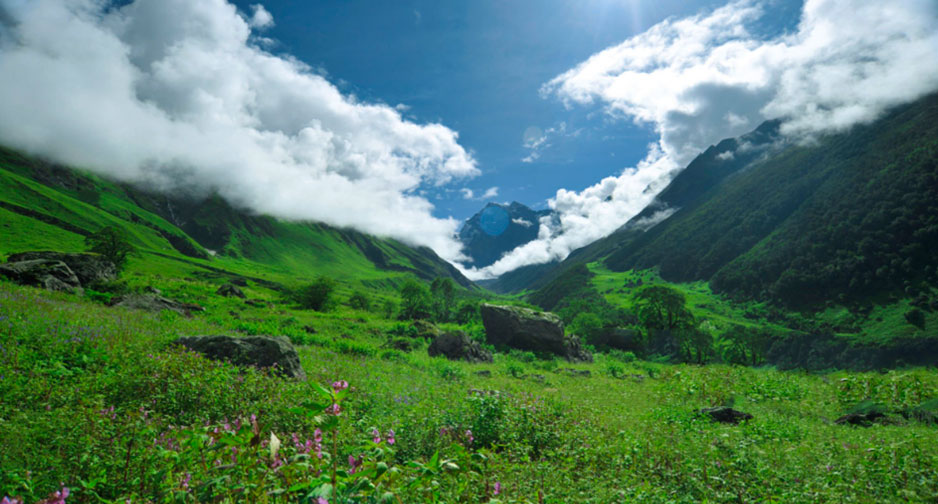
The Valley of Flowers Trek is the best-known trek in the world. Situated at an altitude of 3600 meters above sea level, it is also known as the “Fhoolon Ki Ghati”. The Valley of Flowers, a UNESCO World Heritage Site, is located in the Western Himalayan region in the Chamoli district of Uttarakhand. It is famous for its lush green trekking trails among trekkers and nature lovers. You can see around 300 species of colorful flowers blooming here during this time of the year.
Level – Easy
Start / End Point – Haridwar
Max altitude – 14,400 feet
Trek distance – 47 km
Best time to visit – May – November
Time period – 3 – 4 days
Temperature – Day 12°C-20°C and Night: 4°C-10°C
How to Reach
By Air:- Jolly Grant Airport is the nearest airport at a distance of about 292 kms.
By Train:- Rishikesh is the nearest railway station which is approx 273 kms.
By Bus:- Pulna village is the last point to the Valley of flowers, which is well connected by a motorable road.
Roopkund Trek
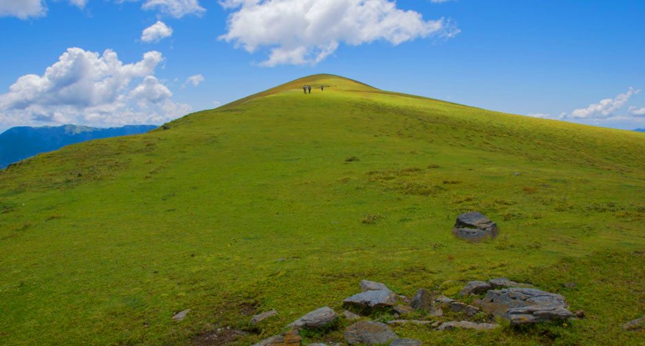
Chopta is a small hill station surrounded by lush green meadows and dense forest at 2,709 meters above sea level. This beautiful bliss is a part of the Kedarnath Wildlife Sanctuary located in Uttarakhand. Chopta is very popular among trekkers as it marks the beginning of trekking to Tungnath, the third temple of Panch Kedar, at a distance of 3.5 km. There is another 1.5 km trek from Tungnath to Chandrashila at 4000 m.
Chopta is one of the new hill stations of Uttarakhand, which offers an eye-catching view of the mighty Himalayan ranges – Trishul, Nanda Devi, and Chaukhamba.
Level – Difficult
Best time to visit- April to June and September to December
Time period – 8 days
How to Reach
The starting point of the trek is Lohajang, which is well connected by a motorable road. You can go by any road transport.
Har Ki Dun Trek
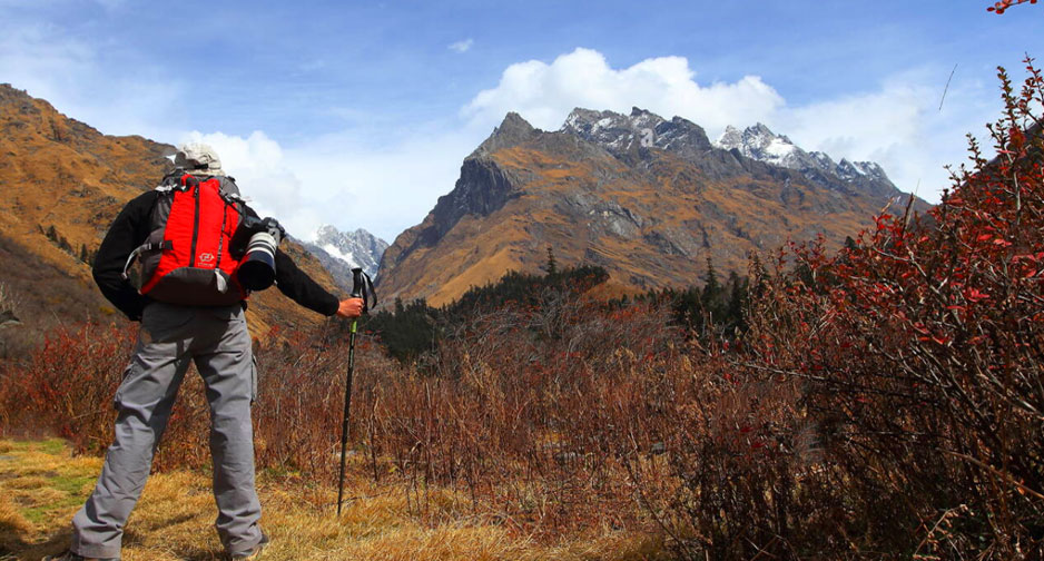
Roopkund trek is a must-do for trekking enthusiasts settled at an altitude of 16,499 feet above sea level. One of the fascinating treks amidst the lush green surroundings of oak and rhododendron forest. This beautiful trek passes through mountainous rivers, dense forests, and scenic ridges, enough to tempt any trekker. The popular Roopkund trek remains frozen throughout the year, which is the main attraction of this trek. While crossing this trek, you can witness the rich hill culture of the village.
Level – Moderate – Difficult
Start / End Point – Lohagunj
Time period – 8 days
Trek Distance – 38 km
Altitude – 4900 mts
Best time to visit- March – Jun, Sep – Fab
Temperature – 13 to 18°C and Night: -5 to 7°C
How to Reach
By Air:- Jolly Grant Airport is the nearest airport at 250 km.
By Train:- Dehradun is the nearest railhead at 232 km.
By Road:- Dehradun is well connected by a motorable road.
Nanda Devi Trek
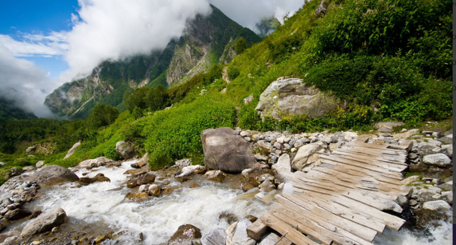
Nanda Devi Trek is the most stunning peak located in the Munsiyari district of Uttarakhand. It is the second-highest peak in the country and the 23rd highest mountain in the world. While doing this grand trek, you get a glimpse of the many idyllic Himalayan peaks and rich biodiversity of this place.
Start / End Point – Kathgodam
Level – Moderate
Altitude – 13.123 ft
Distance – 110 km
Best time to visit- are March – Jun, and Sep-Oct
Time period – 10 days
Temperature – Day 12°C to 20°C and Night: -4°C to 10°C
How to Reach
By Air:- Pantnagar is the nearest airport to Munsiyari.
By Train:- Kathgodam is the nearest railhead to Munsiyari.
By Road:- You can book a cam or go by public transport.
Gomukh Tapovan Trek
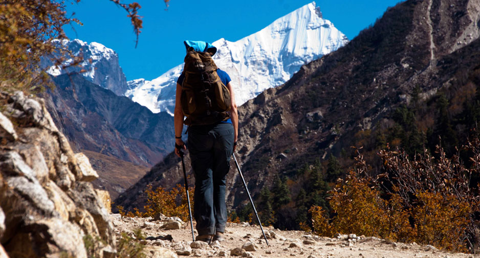
Surrounded by lush green velvet meadows, snow-capped peaks, fragrant flowers, and jaw-dropping views, Tapovan is a gorgeous place at an altitude of about 4463 meters above sea level. The trek is famous among adventure lovers who want to explore the beauty of nature and is located near the famous Gangotri Temple.
Over the years, Tapovan has become popular as a trekking destination among trekkers and is attracting a lot of people. During the Gomukh trek, you can immerse yourself in the divine aura of the cities of pilgrims like Rishikesh, Gangotri, Uttarkashi, and Bhojwasa. This trek also offers a dazzling view of the Gangotri peaks such as Thalai Sagar, Meru, and Shivling.
Start / End Point – Gangotri
Level – Moderate
Altitude – 4430 mt
Distance – 46 km
Time period – 8 days
Best time to visit- May-end – June, and September – October
Temperature – Day: 18°C to 12°C and Night: 5°C to -5°C
How to Reach
By Air:- Jolly Grant Airport is the nearest airport at a distance of 270 km.
By Train:- Dehradun Railway station is the nearest railhead at a distance of about 260 km.
By Road:- You can go by any road transport.
Khaliya Top, Munsiyari
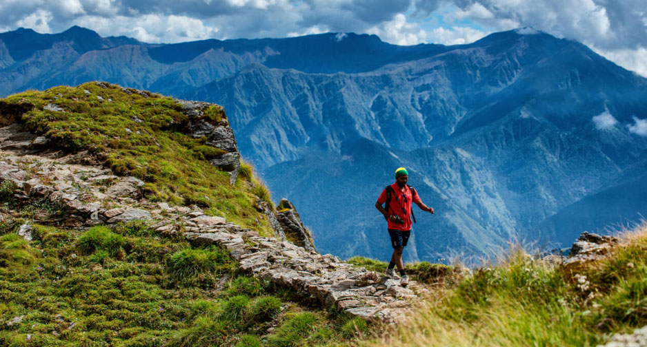
Khalia Top is one of the polar treks consisting of snow-capped peaks at an altitude of 3500 m above sea level near Munsiyari in the Pithoragarh district of Uttarakhand. One can enjoy the awe-inspiring view of Panchachuli and Nanda Devi peaks. You can also get a chance to spot a variety of animal and bird species like – Monal, Kakar, Yellow-fronted Marten, Ghurar, and mountain goat.
Start Point – Munsiyari
Level – Easy
Duration – 1 days
Altitude – 11,500 feet
Distance – 4 km
Best time to visit- March – June, and October – February
How to Reach
By Air:- Pantnagar is the nearest airport at a distance of 346 km.
By Train:- Tanakpur is the nearest railhead at a distance of about 283 km.
By Road:- You can take any road transport to reach Munsiyari.
Kedartal Trek
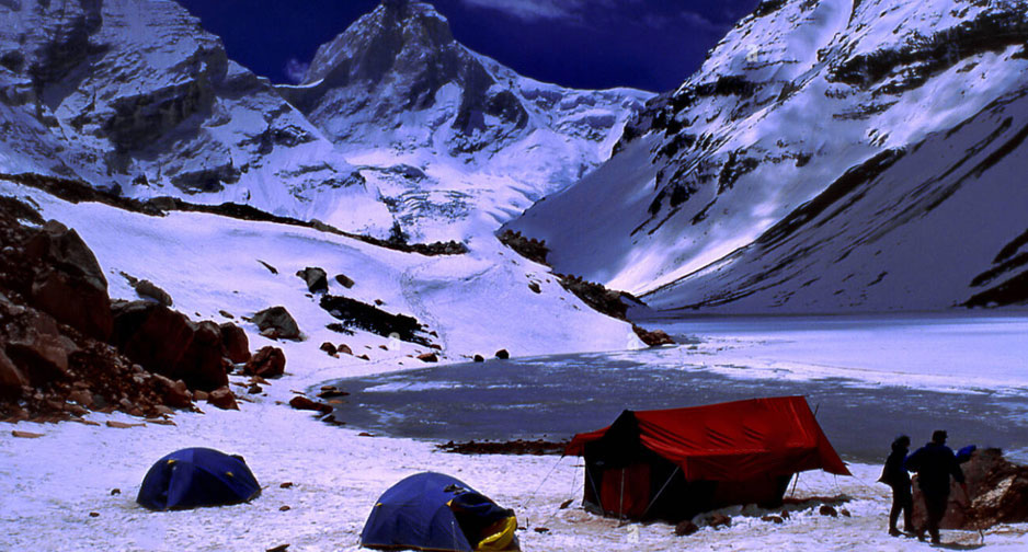
Kedartal is the highest lake in Uttarakhand at 4,912 meters above sea level. Kedar Tal is also known as Shiva’s Lake and is formed by the melting of Kedar Glacier. This trekking trail passes through Kedar Ganga, sliding zones, and rough terrain. Known as one of the popular treks in Uttarakhand, Kedartal is famous for its breathtaking view of the lush green surroundings, snow-capped mountains, cascading waterfalls, and cascading river stream. There is no dearth of natural beauty.
Start Point – Gangotri
Level – Moderate
Distance – 41 km
Altitude – 4800 mts
Time period – 5 days
Temperature – Day: 12°C to 17°C & Night: -1°C to 3°C
Best time to visit- May – June and September – October
How to Reach
By Air:- Jolly Grant Airport is the nearest airport to Gangotri at a distance of 295 km.
By Train:- Dehradun Railway station is the nearest railhead to Gangotri at a distance of 259 km.
By Road:- Gangotri is well connected by motorable road you can go by any road transport.
Tungnath, Chopta, and Chandrashila Trek
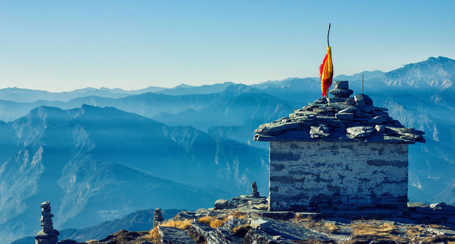
Covered with a mesmerizing summit view of Kedar, Chaukhamba, and the higher Himalayas, Chandrashila Trek is the highest polar summer trek at an altitude of 12,083 meters above sea level. To complete this trek, you will have to climb more than 1.5 km to Tungnath Temple, one of the highest Shiva temples in the world. The trek’s journey takes you through Rishikesh, Sari, and Chopta, and the path is surrounded by vibrant patches of deodar, oak, and rhododendron. When here you can also enjoy bird-watching and breezes by the lake. Don’t miss out on the golden-breasted eagles, which are a mesmerizing view from the peak.
Start Point – Chopta
Level – Easy
Altitude – 4000 mts
Distance – 5 km
Temperature – 5 / -7 0C
Time period – 1 day
Best time to visit- April – June, and September – November
How to Reach
By Air:- Jolly Grant Airport is the nearest airport at a distance of 227 km.
By Train:- Rishikesh is the nearest railhead at a distance of about 213 km.
By Road:- Chopta is well connected by a motorable road.
Gidara Bugyal Trek
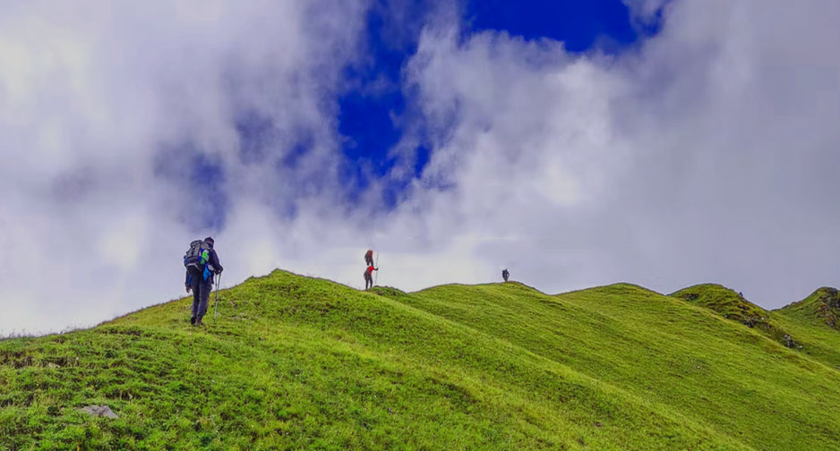
Gidra Bugyal is a beautiful and unexplored trekking trail located 20 km from Dayara Bugyal. The wonderful trek takes you through a lush green highland meadow full of flowers. If one wants to know about nature in detail, then Gidara Bugyal is a perfect trek for them. The beautiful place is enveloped with peace and happiness so that one can rejuvenate their mind and body soul. Once you come here, you will not be disappointed.
Starting Point – Raithal
Level – Moderate
Distance – 45 km
Altitude – 1800 – 3950 mts
Time period – 6 days
Best time to visit- Jan, Fab, May, June, July, Aug, Sep, Oct, Dec.
Phulara Ridge Trek
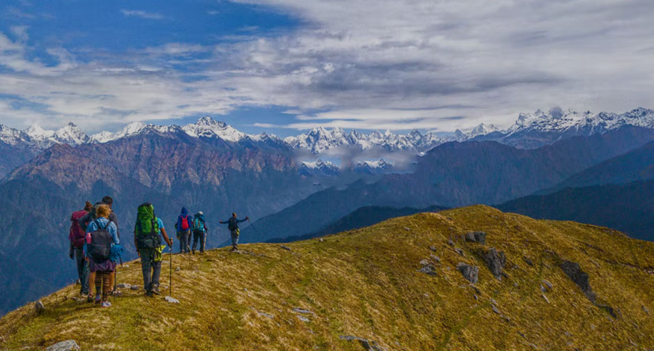
Phulara Ridge Trek is located in Uttarakhand and is considered an ideal trekking trail for adventure buffs that can provide an exciting and fun experience through adventure trekking in India. It is worth mentioning that Phulara Ridge Trek is one of the most stunning treks for freaks as it includes all the adventurous segments in the lap of the Himalayas. Phulara Ridge Trek is the perfect combination of beautiful surroundings and tough patches. Trekkers will get an opportunity to witness breathtaking views of major peaks like Kedarkantha, Swargarohini, etc.
Starting Point – Sankri
Level – Easy-Moderate
Distance – 25 km
Altitude – 12,127 ft.
Temperature – Day: 8°C-15°C, and Night: 5°C-3°C.
Best time to visit- March, April, May, June, Sep, Oct, Nov, Dec.
Time period – 6 days
Dayara Bugyal Trek
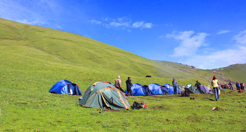
Dayara Bugyal is an ideal trek for a long weekend situated at 12000 feet above sea level. This stunning trek is surrounded by a rich carpet of wildflowers, open land, and valleys misted by thick maple and oak forests. During this trek, you can explore the breathtaking beauty of the high Himalayas like Bandarpunch, Shrikhand Mahadev, Kala Nag, Gangotri, and Shrikant peaks. One of the best summer treks and the best place for those who want to explore the untouched beauty of nature.
Start Point – Raithal village and Barsu village
Level – Easy
Distance – 9 km
Altitude – 1600 – 3800 mts
Time period – 4 days
Temperature – 13 /- 2 0C
Best time to visit- Jan, Fab, May, Jun, July, Aug, Sep, Oct, Dec.
How to Reach
By Air:- Jolly Grant Airport is the nearest airport at a distance of 218 km.
By Train:- Dehradun Railway station is the nearest railhead at a distance of about 192 km.
By Road:- It is a 45-minute drive from Barsu village, and then the motorable Road ends at Bhatwari village near Barsu.
Ali Bendi Bugyal Trek
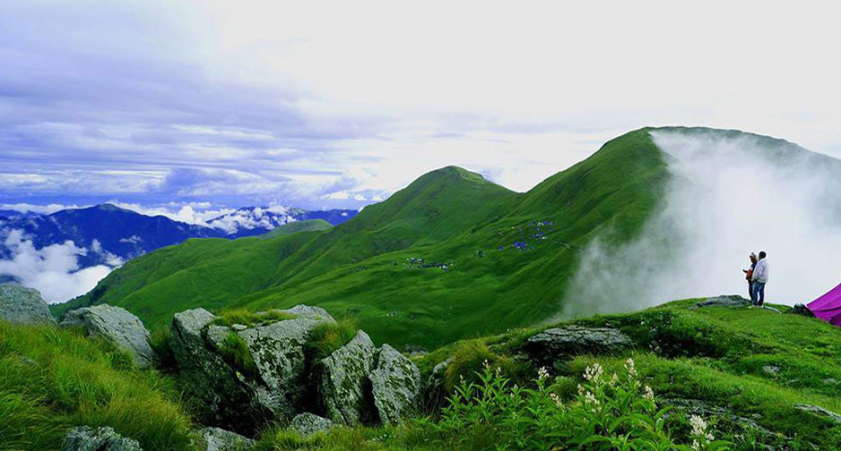
The awe-inspiring meadows of Ali Bedni Bugyal is situated on the border of Garhwal and Kumaon in the Chamoli district of Uttarakhand. The wonderful trek to Bedni Bugyal passes through lush green meadows, enchanting valleys, quiet villages, and dense coniferous forest. Ali Bedni Bugyal is one of the gorgeous meadows in India and offers a splendid view of Trishul Peak. While doing this trek, you got a chance to capture nature in the best possible way.
Level – Easy-Moderate
Start Point – Lohajung
Distance – 35 km
Altitude – 2300 – 3400 mt
Time period – 6 days
Best time to visit- May – November
Temperature – 22°C max. during Day to -2°C min. during Night
How to Reach
By Air:- Pantnagar is the nearest airport at a distance of 258 km.
By Train:- Kathgodam Railway station is the nearest railhead at a distance of about 224 km.
By Road:- The commencing point of this trek is Lohajang, which is well connected by motorable roads.
Kedarnath Vasukital Trek
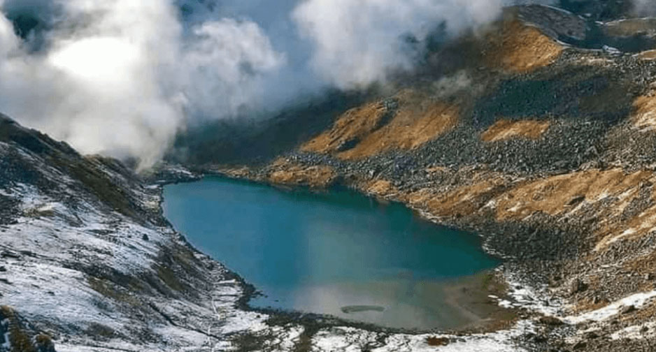
Vasuki Tal is a high glacier trek situated at 14,200 feet above sea level at Kedarnath Dham in Uttarakhand. This fantastic trek gives you a chance to see Chaukhamba Peak, Brahma Kamal, and some other Himalayan flowers in bloom around Vasuki Lake. It is considered that Lord Vishnu had bathed in this lake on the occasion of Rakshabandhan. After that, this lake is known as Vasuki Tal.
Start / End Point – Gangotri
Level – Moderate
Distance – 53 km
Altitude – 14638 ft
Time period – 8 days
Temperature – 3/-17°C
Best time to visit- April – June, and August-Sept
How to Reach
By Air:- Jolly Grant Airport is the nearest airport to Kedarnath at a distance of 238 km.
By Train:- Rishikesh is the nearest railhead to Kedarnath at 216 km away.
By Road:- Gaurikund is the last point of Kedarnath, which is well connected by a motorable road.
Nag Tibba Trek
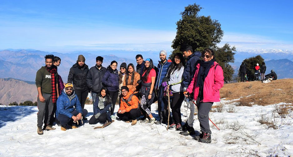
Nag Tibba is one of the popular weekend getaways for camping and trekking during summers. It is situated on the highest peak in Uttarakhand’s lower Himalayas of the Garhwal region. Small Shiva Temple atop the hill, from where you can have a panoramic view of the entire Bandarpunch range. Nag Tibba Trek is an exquisite pleasure for trekking and nature lovers, and it attracts many trekkers from all over the world. The trek passes through dense forests, lush green meadows, breathtaking mountains, and flora and fauna that are enough to lure you with its beauty.
Level – Easy
Start / End Point – Pantwari
Time period – 2 days
Distance – 8 km
Altitude – 3048 mt
Temperature – 14°C to 2°C
Best time to visit- Mar-May, and Oct – Fab
How to Reach
By Air:- Jolly Grant Airport is the nearest airport at a distance of 96 km.
By Train:- Dehradun Railway station is the nearest railhead at a distance of about 73 km.
By Road:- Mussoorie is well connected by motorable roads.
Panwali Kantha Trek
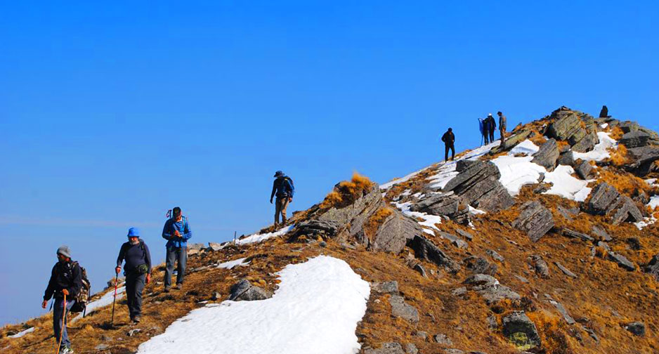
Panwali Kantha Trek is one of the popular summer treks in the Garhwal Himalayas. It is situated at 11,500 feet, offering breathtaking views of the Chardham mountain range, including Badrinath, Kedarnath, Gangotri, and Yamunotri. One can see the lush green meadows with different herbs and flowers during this trek. Be it a novice or a veteran. This trek is an opportunity for both of them to explore every corner of the beauty of the Himalayas. If you are blessed, you may catch a glimpse of blue mountain goats, musk deer, Himalayan bears, and Ghorals.
Level – Moderate
Start / End Point – Ghuttu
Max altitude – 3900 mts
Trek distance – 19 km
Best time to visit – April – Jun, and September – November
Time period – 4 days
How to Reach
By Air:- Jolly Grant Airport is the nearest airport at a distance of 160 km.
By Train:- Haridwar Railway station is the nearest railhead at a distance of about 145 km.
By Road:- You can book a taxi or go by bus.
Panch Kedar Trek
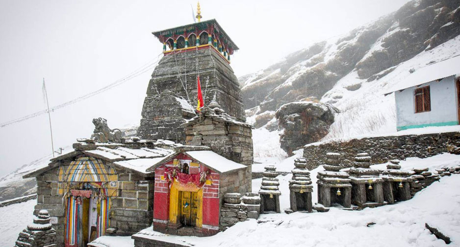
Panch Kedar Trek is one of the numerous exciting treks in the Himalayan region that offers you to explore the splendid beauty of Kedarnath, Madhya Maheshwar, Rudranath, Tungnath, and Kalpeshwar peaks. This trek covers all the five temples of Lord Shiva and many places in Kedar Valley like – Kalgot, Panar, Chopta, Chandrashila, Ransi, etc. Panch Kedar Trek is also famous among youngsters who love the thrill of trekking. The holy places in the mountains are blessed with the beauty of nature.
Panch Kedar Trek is one of the lifetime experiences, which will surely bring out the adventure craze within you and leave you with a memorable experience.
Level – Moderate
Start / End Point – Joshimath – Guptkashi
Max altitude – 12074 feet
Trek distance – 160 km
Best time to visit – April – October
Time period – 15 days
Temperature – 22°C (Max. During Day Time) to 4°C ( Min. During Night Time)

